Services
Title Engineering
The combined aspects of identifying easements, locating a particular plot, getting critical insights into the surrounding area, collecting comprehensive information about a specified property, verifying the legal description of the given plot, ensuring legal autonomy over boundaries from a title document is called Title Engineering.
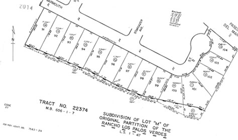
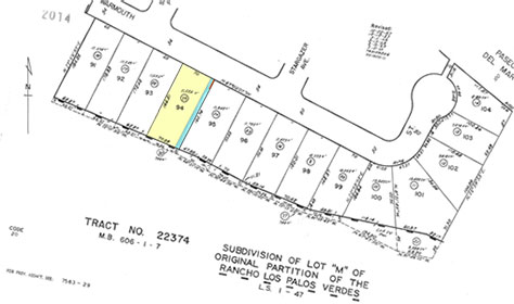
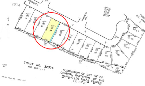
Plotted easements
The right of another entity or person to use or trespass part of your property is called easements. Plotted easements are typically a map that shows the potential easement areas associated with particular real estate property.
Objective
As easements do not give the owner a right of possession of that plot of land but only a right to use, homeowners are restricted from using such easement areas as they seem fit. Hence, the imperative for plotted easements, which can indicate the location of these easements.
Location Maps
Location maps are drawn to specifically show the route that leads up to a particular real estate property from the nearest motorway.
Objective
Location Maps are designed with one goal in mind - to identify and locate a specific property without much effort. In other words, they provide physical access to a plot with relevant information such as identifiable landmarks, or any other useful hint to reach the area quickly.
Radius Map
A circular map that is drawn with your property as the centre point, Radius Maps gives meaningful insights into an area around a specific distance.
Objective
Designed to provide useful stats surrounding a particular plot of land, Radius Maps gives a clear comprehension of hot spots, highways, boundaries and much more around your area.
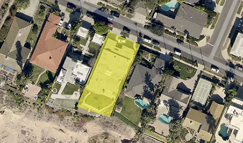
Aerial Map
An Aerial Map gives a top or satellite view of a specific land with information that is typically not viable from another viewpoint.
Objective
Offering an aerial view of a plot, Aerial Maps provides a range of data such as a complete development area with measurements, comprehensive information about adjacent properties and/or nearest hot spots.
Hyperplots
A one point link to access information on the exceptions listed in the preliminary title report.
Objective
As an item that doesn’t come under the scope of title policy coverage, Exceptions are factors that should be clearly identified during the preliminary reporting stages. Hyperplots links these listed exceptions and your plotted maps to the title report for you to have easy access and gain insights on the scope of policy coverage.
Legal Analysis
Legal Analysis is a process where maps are plotted to verify the legal description of a given plot.
Objective
As a unique identifier of property, Legal descriptions are a means to precisely locate a particular piece of land. To save buyers and/or owners from possible Title disputes in the future, Legal Analysis is performed to ensure the legal descriptions are clearly defined.
Boundary Analysis
It is a process where maps are created to show the exact boundaries between a property and its adjoining property.
Objective
As a vital means for effective property management, Boundary Analysis provides owners with a clear description of boundaries and ensures they have legal integrity.
Acreage Maps
Acreage Maps are plotted to calculate the area of a specific property.
Objective
To get an ideal estimate of a plot in terms of square footage or acreage, the quickest way to calculate is by plotting an Acreage Map.